
Kingdom of Thuringia: Map & History
Basina or Basine was remembered as a queen of Thuringia in the middle of the fifth century, by much later authors such as especially Gregory of Tours.
Wikipedia Encyclopedic Compendium
Historiographical synthesis & structured realm registry
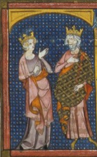
Basina or Basine was remembered as a queen of Thuringia in the middle of the fifth century, by much later authors such as especially Gregory of Tours. However, because Gregory described her family's kingdom of Thuringia as being on the Gaulish or western side of the river Rhine, it is sometimes thought to be the Civitas Tungrorum, which is now Belgium.
Modern Countries Once Part of Kingdom of Thuringia
At its mapped extent, Kingdom of Thuringia covered territory in 1 present-day country. The period shown is when the mapped borders include that country, and the note says how much of it.
States and Provinces
Largest Present-Day Cities in Its Territory
Each opens on the live map inside Kingdom of Thuringia's borders of that time.
Derived by testing mapped cities against this polity's dated territorial polygons, so the list is indicative and follows the borders in the source dataset.
Kingdom of Thuringia Map Over Time
Dated world maps on which Kingdom of Thuringia appears, with the other states of the time.
Kingdom of Thuringia Timeline
Key historical inflections from foundation to peak territorial expansion
Expansion to peak recorded area of 40,557 km² in 528 CE.
Kingdom of Thuringia: Frequently Asked Questions
When did the Kingdom of Thuringia exist?
The Kingdom of Thuringia is dated to 476 CE – 533 CE, in the Classical Antiquity era.
How large was the Kingdom of Thuringia at its peak?
At its peak in 528 AD the Kingdom of Thuringia covered about 40,557 km².