
Pembuang
Pembuang is a mapped river in the YearMaps hydrographic index. River courses organise settlement, agriculture and frontier-making more durably than any political boundary, and this reach is indexed against the dams, lakes and cities within its catchment.
- Feature Class
- River
- Coordinates
- -2.13°, 112.19°
About Pembuang
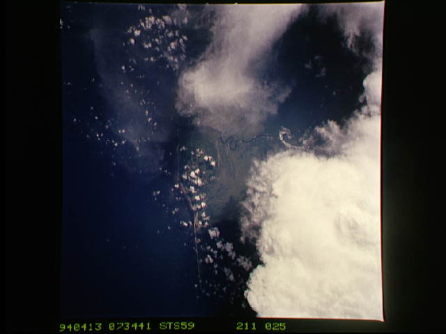
Pembuang River or Seruyan River is a river of Borneo, Indonesia. The river has its source near Bikit Tikung (1,175 metres) in the Schwaner Mountain Range. The eastern side of the river contains dense forest down to Sembulu (Belajau) lakes and is said to be a major habitat of the orangutan. Pembuang means "place of rejection".
Encyclopedic summary adapted from Wikipedia: Seruyan River (CC BY-SA 4.0).
Pembuang in Depth
Geography
The river flows in the middle to the south of Borneo island with predominantly tropical rainforest climate (designated as Af in the Köppen-Geiger climate classification). The annual average temperature in the area is 24 °C. The warmest month is November, when the average temperature is around 26 °C, and the coldest is February, at 23 °C. The average annual rainfall is 3118 (2971-3480) mm. The wettest month is December, with an average of 491 mm rainfall, and the driest is September, with 67 mm rainfall.
Hydrology
The Seruyan River (previously named Seroejan) is a river that crosses and flows in the Seruyan Regency, Central Kalimantan province, Indonesia. The river flows from north to south and empties into the Java Sea has a length of 350 Km and a navigable 300 Km through several cities, an average depth of 6 m and an average width of 300 m.
Sections adapted from Wikipedia: Seruyan River (CC BY-SA 4.0).
Pembuang: Key Facts
| Length | 350 km |
|---|---|
| Source | Pegunungan Schwaner |
| Mouth | Java Sea |
| Tributaries | Kuala Besar, Danau Sembuluh, Salau River |
Facts from Wikidata Q7161998 (CC0).
Major River Dossiers
Hand-written studies of the great river systems of history.
Connected Reaches
Nearby watercourses in the same drainage network.
Water Bodies in the Catchment
Settlements Along the Reach
Hydraulic Infrastructure Nearby
Surrounding Terrain
Pembuang: Quick Answers
- Where is Pembuang?
- Pembuang is located in Indonesia, at 2.1329° S, 112.1911° E.
- Are there dams on the Pembuang?
- No dam on the Pembuang is recorded in the YearMaps dam index, which covers major structures only.