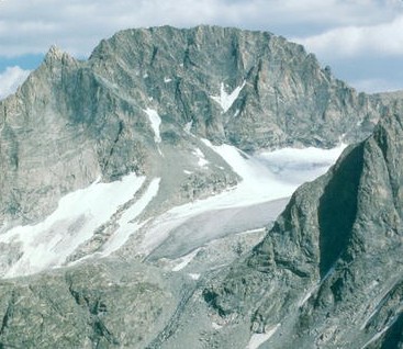
Denali
Mountain · 6,194 m
Denali is a mountain rising to 6,194 metres (20,322 ft) in the United States, in the North America region. Highest point in N. America.
Denali ( də-NAH-lee; Koyukon: Deenaalee), federally designated as Mount McKinley, is the highest mountain peak in North America, with a summit elevation of 20,310 feet (6,190 m) above sea level. Its vertical relief above the surrounding plateaus is one of the greatest on Earth, measuring about 18,000 feet (5,500 meters). With a topographic prominence of 20,156 feet (6,144 m) and a topographic isolation of 4,621.1 miles (7,436.9 km), Denali is the third most prominent and third-most isolated peak on Earth, after Mount Everest and Aconcagua. Located in the Alaska Range in the interior of the U.S. state of Alaska, Denali is the centerpiece of Denali National Park and Preserve.
The Koyukon people who inhabit the area around the mountain have referred to the peak as "Denali" for centuries. In 1896, a gold prospector named it "Mount McKinley" in support of then presidential candidate William McKinley, who later became the 25th president; McKinley's name was the official name recognized by the federal government of the United States from 1917 until 2015. In 1975, the State of Alaska officially renamed the mountain Denali and requested the federal government follow suit.
Adapted from Wikipedia: Denali (CC BY-SA 4.0).
- Elevation
- 6,194 m (20,322 ft)
- Global rank
- #42 of 641 indexed
- Region
- North America (#1)
- Country
- United States
- Coordinates
- 63.0694°, -151.0073°
Of the 641 named summits indexed in YearMaps, Denali ranks #42 by elevation, below Chimborazo (6,267 m) and above Aucanquilcha (6,176 m).
- Ranges:
- Alaska Range (North America), Wrangell Mountains (North America)
- Neighbouring summits:
- Redoubt Volcano (3,108 m), Mount Blackburn (4,996 m), Mount Katmai (2,047 m)
- Settlements below:
- Anchorage (214 km), Fairbanks (254 km), Whitehorse (873 km)
More about Denali
Geology and features
Denali is a granitic pluton, mostly pink quartz monzonite, lifted by tectonic pressure from the subduction of the Pacific plate beneath the North American plate; at the same time, the sedimentary material above and around the mountain was stripped away by erosion. The forces that lifted Denali also caused many deep earthquakes in Alaska and the Aleutian Islands. The Pacific Plate is seismically active beneath Denali, a tectonic region that is known as the "McKinley cluster".
The high topography of Denali is related to the complex structural relationships created by the right-lateral Denali Fault and Denali Fault Bend. The Denali Fault is caused by stresses created by the low-angle subduction of the Yakutat microplate underneath Alaska.
History
The Koyukon Athabaskans, living in the Yukon, Tanana and Kuskokwim basins, were the first Native Americans with access to the flanks of the mountain. A British naval captain and explorer, George Vancouver, is the first European on record to have sighted Denali, when he noted "distant stupendous mountains" while surveying the Knik Arm of the Cook Inlet on May 6, 1794. The Russian explorer Lavrenty Zagoskin explored the Tanana and Kuskokwim rivers in 1843 and 1844, and was likely the first European to sight the mountain from the other side.
William Dickey, a New Hampshire-born resident of Seattle, Washington, who had been digging for gold in the sands of the Susitna River, wrote, after his returning from Alaska, an account in the New York Sun that appeared on January 24, 1897.
Sections adapted from Wikipedia: Denali (CC BY-SA 4.0).
Denali: Key Facts
| Topographic prominence | 6,155 m |
|---|---|
| Mountain range | Alaska Range |
Facts from Wikidata Q130018 (CC0).